Publication: The making of a conservation landscape

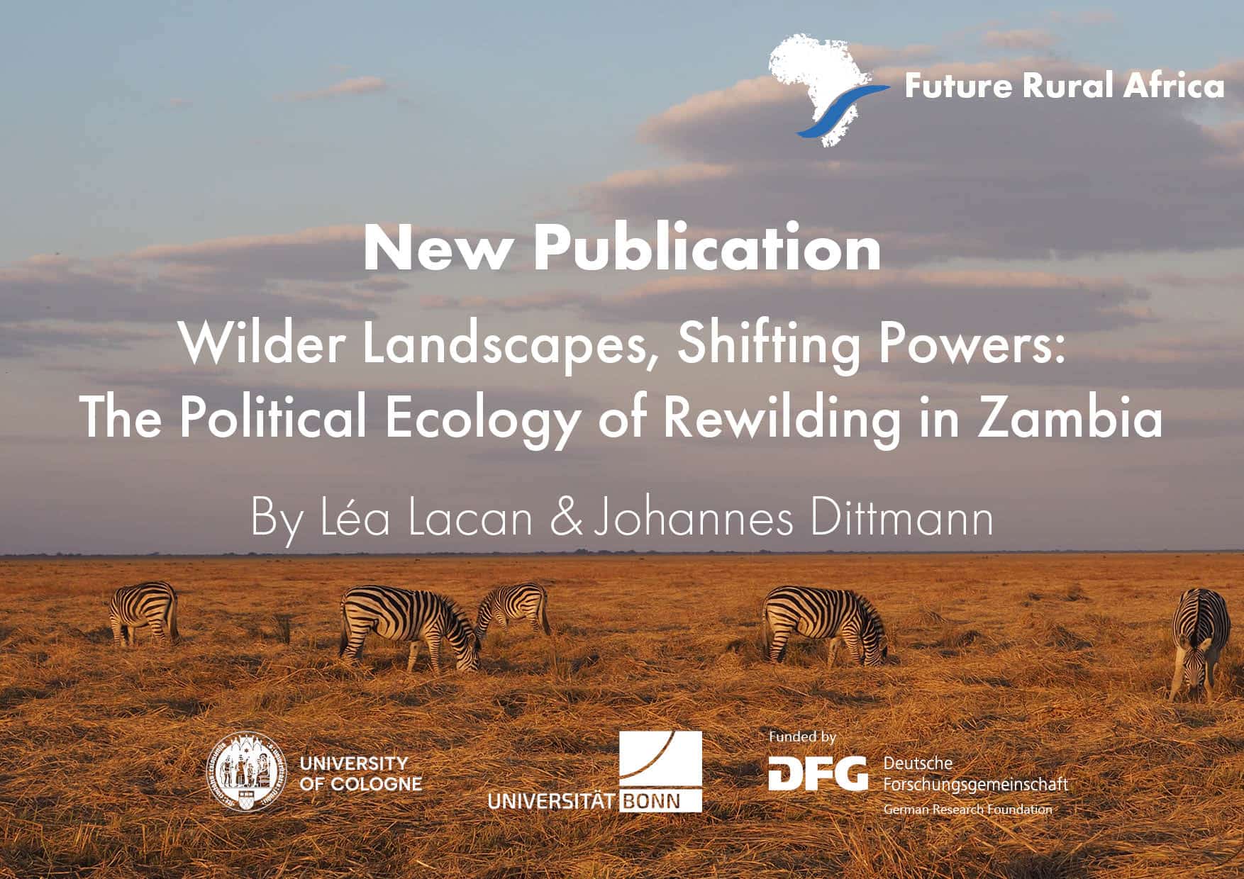
The Kwando Basin of north-eastern Namibia is firmly embedded in current national and international conservation agendas. It is a key part of the world’s largest transboundary conservation area, the Kavango–Zambezi (KAZA) Transfrontier Conservation Area, and the home of seven community-based conservation areas (conservancies) and three smaller national parks (Mudumu, Nkasa Rupara, and Bwabwata). While conservation agendas often start from the assumption that an authentic part of African nature is conserved as an assemblage of biota that has not been gravely impacted by subsistence agriculture, colonialism, and global value chains, we show that environmental infrastructure along the Namibian side of the Kwando Valley has been shaped by the impact of administrative measures and the gradual decoupling of humans and wildlife in a vast wetland. The way towards today’s conservation landscape was marked and marred by the enforced reordering of human-environment relations; clearing the riverine core wetlands of human habitation and concentrating communities in narrowly defined settlement zones; the suppression of specific, wetland-adapted subsistence practices; and the elimination of unwanted microbes with the help of insecticides. The interventions in the ecosystem and the construction of an environmental infrastructure have created a unique conservation landscape in the Namibian Zambezi region, which provides the foundation for its popularity and success.

Bollig, M., Vehrs, H. P., (2021): The making of a conservation landscape: the emergence of a conservationist environmental infrastructure along the Kwando River in Namibia’s Zambezi region. Cambridge University Press. Africa, Volume 91, (2), pp 270- 295.DOI.

More CRC News

the image shows an industrial area

New Publication: How State Strategies in Special Economic Zones Shape Labor Outcomes in Ethiopia and Zambia

Carolina Kiesel and Peter Dannenberg (Project C01 “Future in Chains”) analyse how different state strategies for developing Special Economic Zones (SEZs) shape labour outcomes. Comparing ...
Read More »
a map showing the location of nyerere dam in Tanzania

Reviving a Ghost Dam: The Politics and Promise of Tanzania’s Rufiji River Basin

In this newly published article, Emma Minja and Detlef Müller-Mahn (Project C03 Green Futures) explore the century-long history and politics of the Stiegler’s Gorge (now ...
Read More »
book cover of a publciation about foot and mouth disease

Rethinking Foot-and-Mouth Disease: How Botswana’s History Challenges Colonial Views of Animal Health

This publication examines how understandings of foot-and-mouth disease (FMD) in Botswana during the 1960s–70s were shaped by colonial and postcolonial contexts, showing how local veterinary ...
Read More »
a highway in namibia

New Study Reveals How Roads and Education Shape Community Visions for a Nature-Positive Future

This study by Judith K. Musa, Vincent Moseti and Lisa Biber-Freudenberger (Project A05 “Future Roads”) investigates how road infrastructure influences local communities’ sense of agency ...
Read More »
poster for an event

Transatlantic Tandem Talks: Future-Ready Food Systems? Sustainability and Resilience in Times of Crises

Wed | October 29th, 2025 | 17:00 (CET) With Peter Dannenberg (Project C01 “Future in Chains”) and Angela Bedard-Haughn (University of Saskatchewan). As the current ...
Read More »
Scroll to Top